Skip to content

WebGIS for Integrated Transportation system bus DAMRI using Codeigniter, Leaflet.js, PostgreSQL/PostGIS, Firebase Database, Google Maps API.

License

Notifications You must be signed in to change notification settings

ibnudana02/WebGIS-ITS

Repository files navigation

Introduction

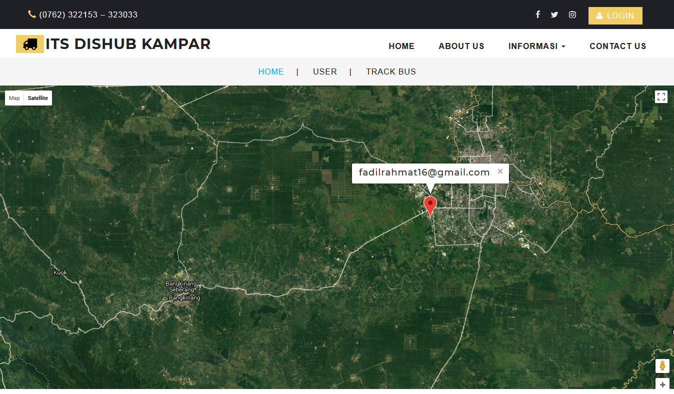
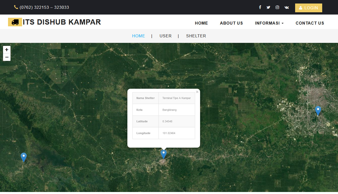
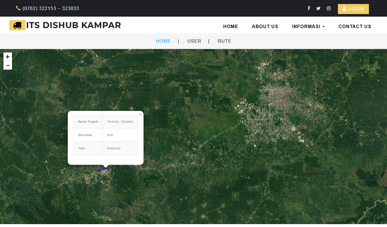
WebGIS untuk menampilkan Trayek dan Shelter bus DAMRI Kabupaten Kampar, Dinas Perhubungan Kabupaten Kampar. Selain itu, untuk memudahkan masyarakat mendapatkan jadwal bus DAMRI dan melakukan tracking bus realtime untuk tahu lokasi bus yang sedang beroperasi.

About

Implemented PHP Framework Code Igniter 3, Leaflet & Google Maps API, PostgreSQL & Firebase Realtime Database, Bootstrap Template.

Screenshot

  1. screenshot

  2. screenshot

  3. screenshot

About

WebGIS for Integrated Transportation system bus DAMRI using Codeigniter, Leaflet.js, PostgreSQL/PostGIS, Firebase Database, Google Maps API.

Topics

Resources

License

Stars

Watchers

Forks

Releases

No releases published

Packages